constellr is pioneering the use of thermal infrared microsatellites for global land surface temperature (LST) monitoring. We deliver daily, sub-field, LST imagery optimised for high-precision agriculture, temperature-derived crop health management, yield forecasting and sustainable resource management.
Climate change, land degradation and a growing population builds pressure to use fewer resources more efficiently.
A lack of transparent data on crop stress at the field level can have massive repercussions across supply chains.
Today's satellite systems provide information too late for mitigative action at field level.
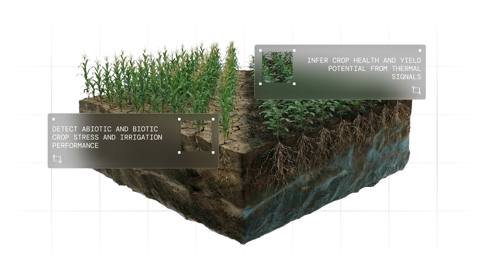
Detection of early water stress via thermal imaging can contribute to enhanced yield, reduced operating costs and optimized resource & supply chain management.
Find out how constellr radically improves today's crop monitoring capabilities.
Daily revisit times for time-critical precision farming.
Comparable with Sentinel-3 or Landsat- 8.
Better than 50m for optimised field-level management.
Analysis-ready data for your AOI, available now.
State of the Art: daily, field-level, global, Level-2 georeferenced land surface temperature data.
Our thermal data makes it possible to detect plant water stress immediately via evapotranspiration, a much more robust measure of plant health than current visual approaches. This allows for mitigative action on the same day and before irreversible crop damage occurs.
STATUS QUO
VISUAL SATELLITE DATA
constellr
THERMAL INFRARED HEAT MAP
TIR
LOW WATER STRESS
TIR
HIGH WATER STRESS
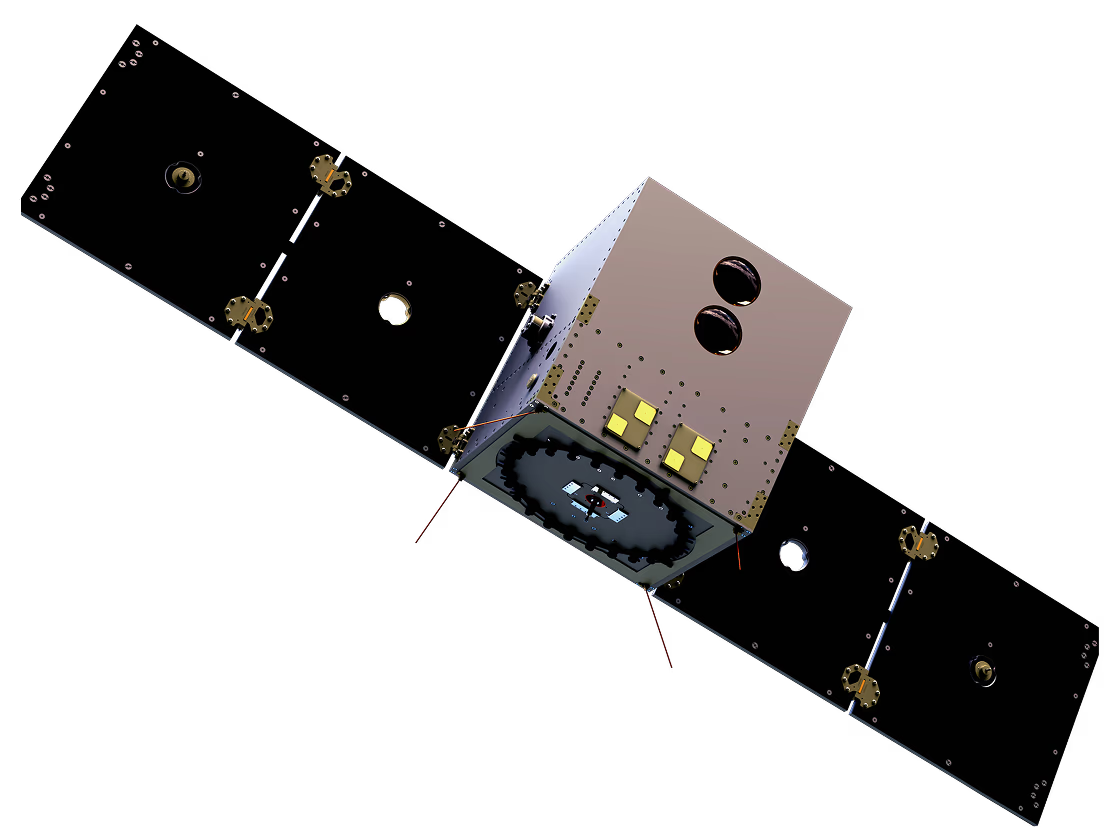
Our patent-pending satellite architecture enables rapid scaling to global coverage, with consistent daily revisit times, high spatial and spectral accuracy and dynamic tasking capabilities.
- MORE THAN 1,000,000 KM DAILY IMAGING CAPACITY
- GLOBAL COVERAGE HIGHLY SCALABLE CONSTELATION
- HIGH TEMPERATURE ACCURACY AND HIGH REPEATABILITY
- DAILY REVISIT TIME AND LOW LATENCY FROM COLLECTION TO DELIVERY
- 50M GROUND SAMPLING DISTANCE 5-10M GSD VNIR
Are you a Smart irrigation provider or system operator? constellr augments sensor or drone intelligence with high-resolution, verified, daily satellite input for optimizing water use, helping significantly reduce wastage.
• Field-level input optimisation
• High spatial and spectral resolution
• Daily mitigation for sensitive crops or regions
We're currently working with an Israeli irrigation company to help optimise their digital irrigation services with satellite-based TIR data.
Want to enhance your digital product portfolio or your regional mapping services? constellr provides hydrologic insights into crop behaviour, helping you identify stress days to weeks earlier than current technology.
• Advanced warning of water stress
• Field- to scale crop management
• Precise, evapotranspiration-based measurement
We're collaborating with a Dutch agri-analytics company to enhance their satellite-based monitoring and yield improvement products.
Striving for supply chain transparency? Substantial areas under management? constellr help optimise input practices at scale and help significantly reduce uncertainty in yield prediction with access to highly reliable crop health data.
• Direct crop stress measurement lowers uncertainty
• Transparent insights across regions, farms and fields
• Direct integration into existing yield models
We're supporting several crop forecasting companies keen to use our high resolution data to improve crop yield modeling and stabilize commodity trading activities.
In need of verifiable, low latency temperature tracking data? constellr’s data on top- and root soil moisture content and sudden cold episodes assist with timely prediction of and mitigation for drought or late frost damage, supporting land managers develop appropriate counter-measures.
We're working with a handful of large agri-food corporates looking to optimise the predictability of their global operations and supply chain with both local (precision input optimisation) and global (regional water stress index) intel.
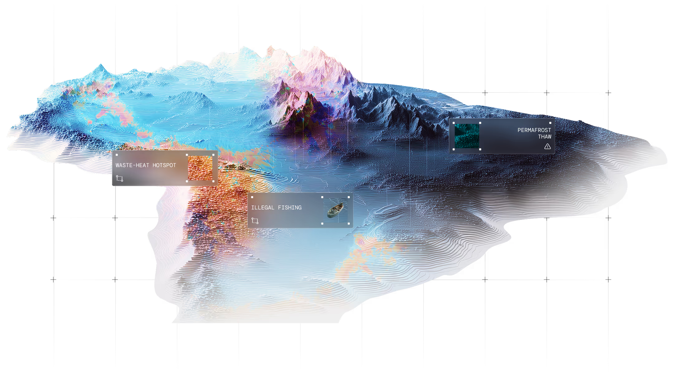
Require data to enhance hazard detection and take effective suppression action? constellr’s high spatial resolution and short revisit times support early wildfire detection as well as volcanic eruptions, earthquakes and other small and large scale temperature anomalies and can help inform mitigation and counter-measures.
We're working with Google to explore the merging of thermal infrared datasets with the early development of some of the worst Californian wildfires in history to learn more about wildfire detection and control.
As a leading provider of precise thermal data, constellr's vision is to advance understanding of the planet's ecosystems, enabling a more equitable and sustainable future governance of global resources.
Central to our mission is the provision of a robust data basis to drive 'more crop per drop' and help feed 10 billion people by 2050.
We believe in sound agricultural decision making for a #ZeroHunger future.
We are a fast-growing team of aerospace engineers, data scientists, agronomists and business professionals with a shared vision to rebase decision making in tomorrow’s smart farming. constellr has offices in the lively, beer and waffle-loving European capital, Brussels, situated in the cosmopolitan and vibrant Ixelles districts and in beautiful Freiburg, in
south west Germany, bordering the Black Forest and in close proximity to France and Switzerland. We value the principles of science-based innovation, transparency and cooperation in our mission to drive the agricultural transition. We are a purpose-driven #newspace company, committed to leveraging positive climate impact across the agricultural system.
Aerospace engineer, data scientist, space or business expert? We're serious about hiring top talent. Send us your CV and tell us why we can't say no: career@constellr.space