The world’s most accurate thermal intelligence
We are constellr. We deliver mission-critical satellite intelligence for defense and climate operations.


[ 01 ]

Mission
We design and operate thermal satellites for defence and government operations.
Vision
Our thermal intelligence drives
defence decisions across Europe. Recognized worldwide.
Solutions
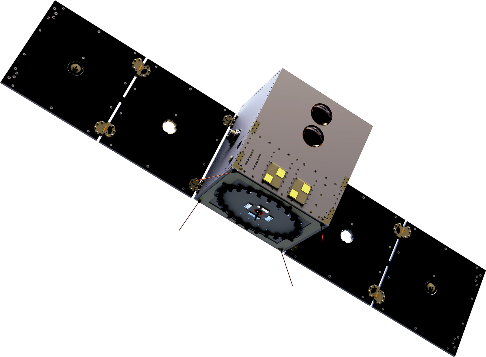
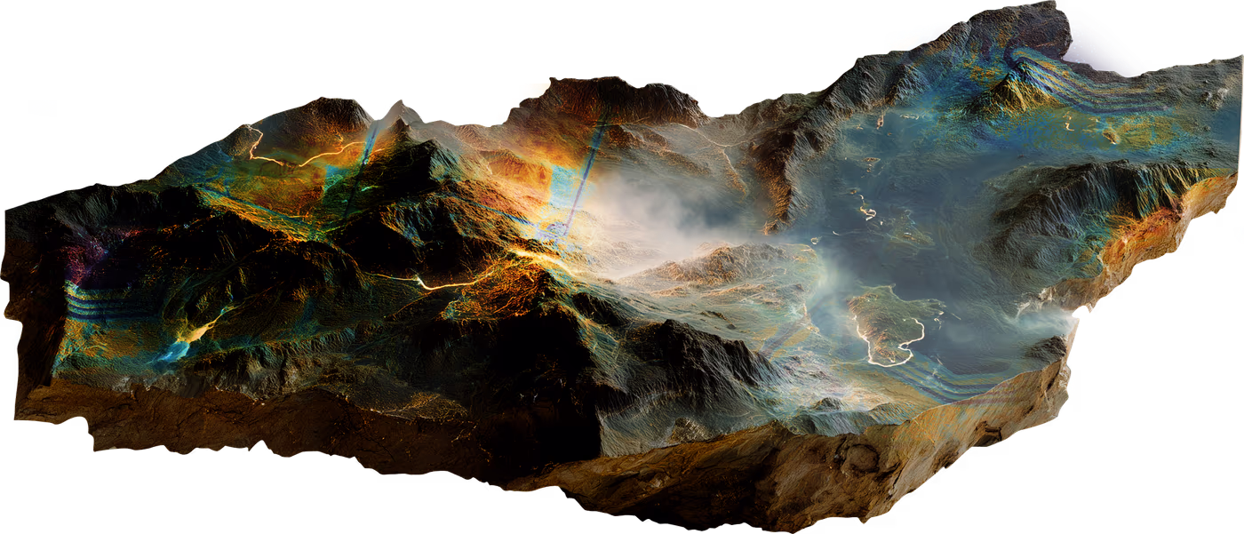
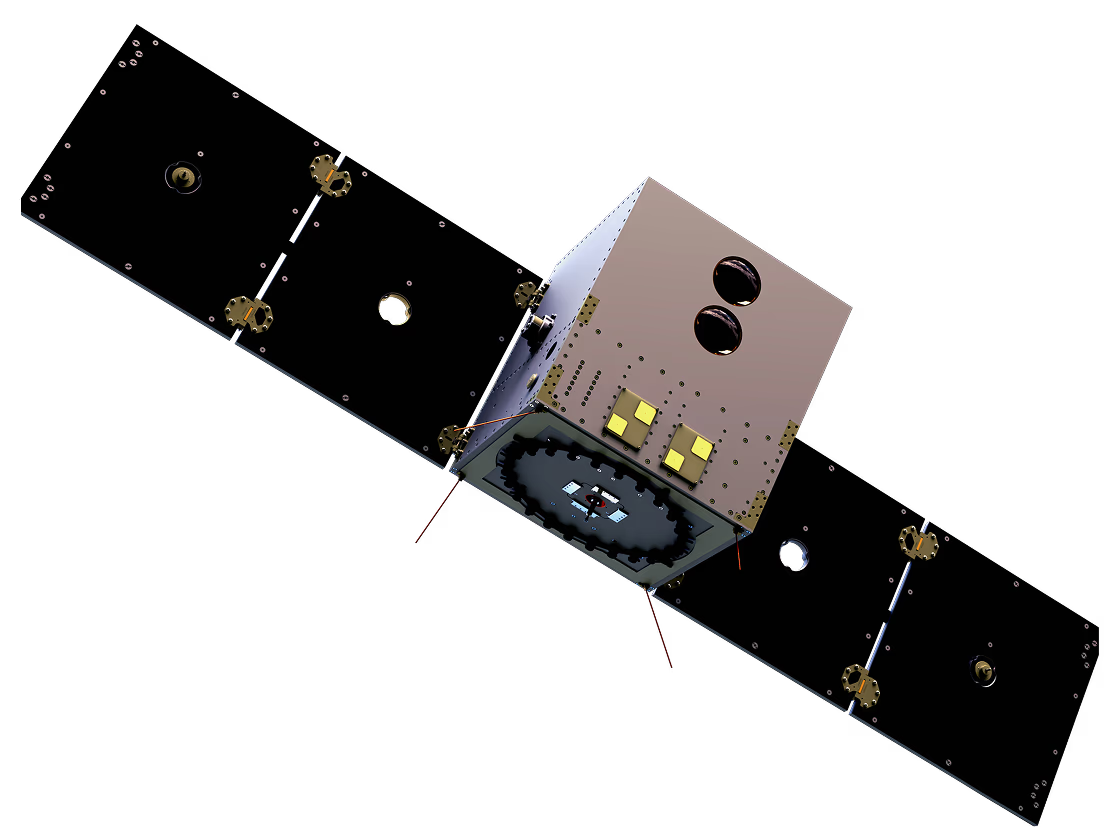
Introducing HiVE
Our High-Precision Versatile Ecosphere (HiVE) is a microsatellite constellation designed for absolute temperature monitoring from space.


Thermal precision
Absolute surface temperature at 30m native resolution, 1-2 K accuracy

Sensor suite
Cryo-cooled thermal payload with 4 thermal and 10 visible/near-infrared bands for geolocation and atmospheric correction

Coverage
Daily revisit for target regions (full capability by 2026). Day and night imaging operational Q4 2025

Orbital configuration
Sun-synchronous orbit ensures data consistency for temporal analysis
Want the full technical breakdown?
Operational now. Expanding continuously.
Our Journey


Leadership team
Meet the people behind next-generation intelligence

Max Gulde
Chief Executive Officer
max.gulde@constellr.com

Cassi Welling
Chief Strategy Officer
cassi.welling@constellr.com

Christian Mittermaier
VP Business Development
christian.mittermaier@constellr.com

Daniel Spengler
Chief Technology Officer
daniel.spengler@constellr.com

Marius Bierdel
VP Program Management, Supplier Relations
marius.bierdel@constellr.com

Beate Tempel
Chief Product Officer
beate.tempel@constellr.com
Max Gulde
Chief Executive Officer
max.gulde@constellr.com
Cassi Welling
Chief Strategy Officer
cassi.welling@constellr.com
Christian Mittermaier
VP Business Development
christian.mittermaier@constellr.com
Daniel Spengler
Chief Technology Officer
daniel.spengler@constellr.com
Marius Bierdel
VP Program Management, Supplier Relations
marius.bierdel@constellr.com
Beate Tempel
Chief Product Officer
beate.tempel@constellr.com
Regional leadership

Guillaume Triquet
French partnerships
bonjour@constellr.com

Mohammad Iranmanesh
Belgian partnerships
salut@constellr.com

Tara Gattis
US partnerships
hello@constellr.com

Jean-Pierre Aramouni
MENA partnerships
marhaba@constellr.com
Blog
Read the latest news & updates

Airbus Defence and Space sovereign space intelligence consortium with Rohde & Schwarz, constellr, Orbint and HPS
15.06.2026
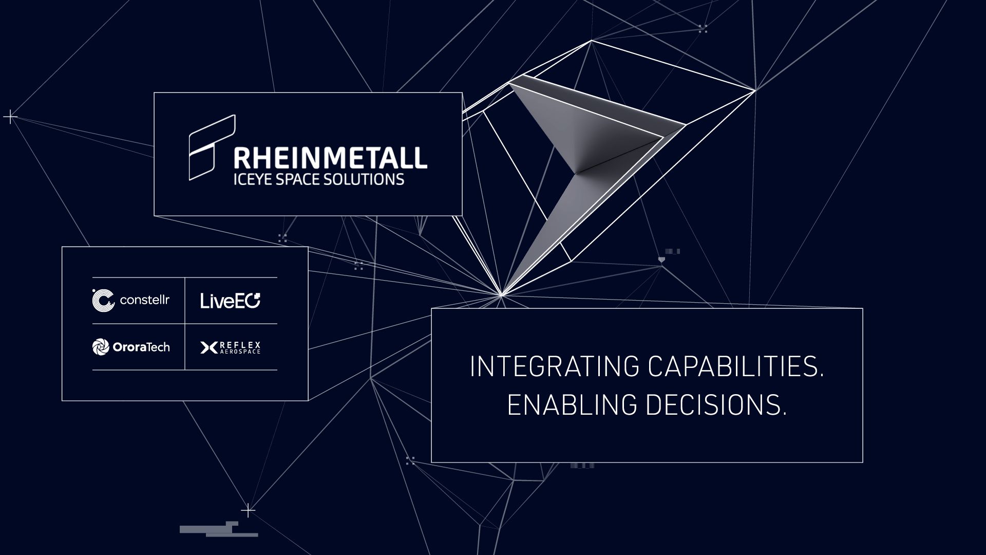
Rheinmetall ICEYE Space Solutions Unites Germany’s NewSpace Capabilities for Sovereign Reconnaissance from Space
15.06.2026
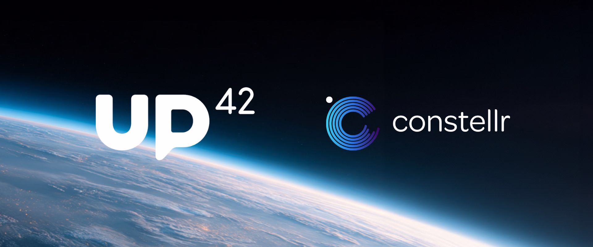
Expanding access to thermal intelligence with UP42
27.02.2026
Locations
0
1
Munich

0
2
Freiburg

0
3
Berlin

0
4
Brussels

0
5
Toulouse

0
6
Washington, D.C.

Mission partners

Careers
Join us as we shape Europe's thermal intelligence future